
The Cedar Canyon Wildlife Management Area (WMA) provides a great opportunity to see animals, big and small, during any of the hikes you can take in the area. You can choose from hikes along a clearly marked trail, hikes along two tracks and hikes to the top of the butte for spectacular views of the valley.
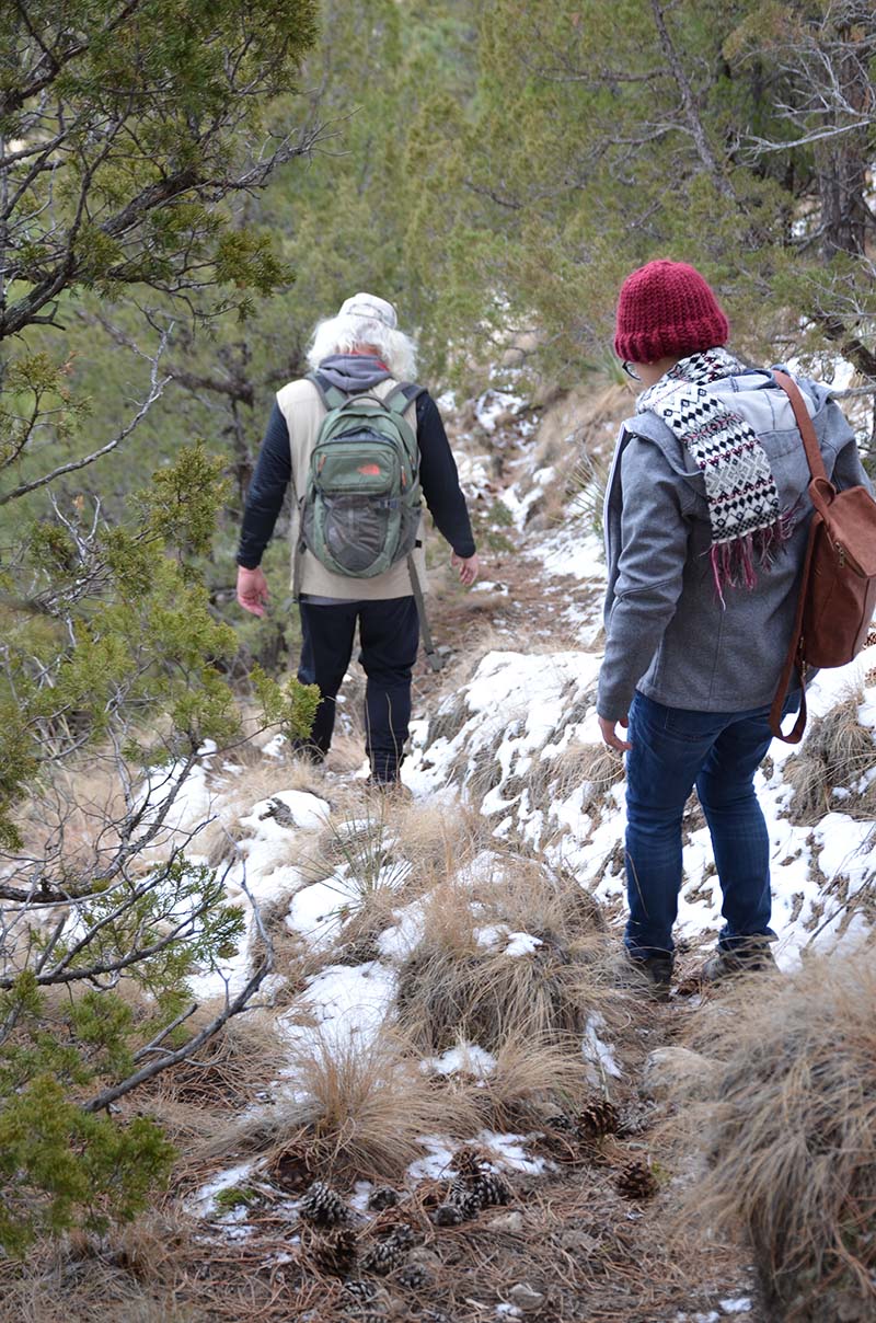
Since I am only a small monkey, I go wherever my adventurous humans go. They seem to always choose the game trail, which humans also use to the top. It’s a 45-minute trek straight up where you can see some pretty views. We usually walk at least halfway across the top, where you can see even more.
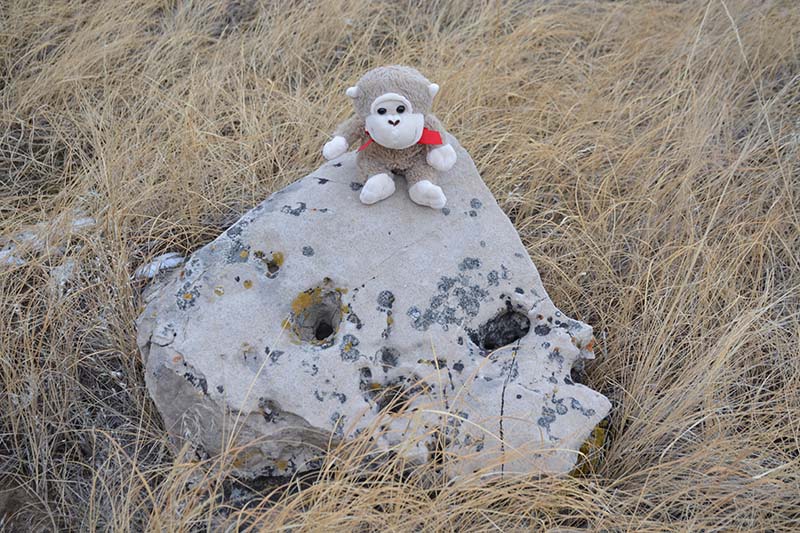
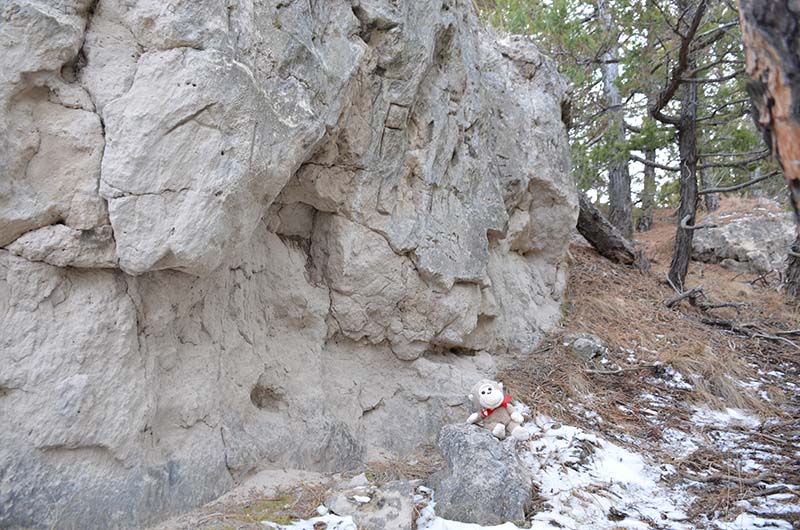
The beginning of the trail to the top of the bluff at Cedar Canyon is not easy to find. Fortunately, there is a boulder smiling at you to indicate the way. Starting at the parking lot, you follow the trail, turn right onto a two track and walk to the end. Look for the rock and the trail entrance is about 100 feet ahead of you.
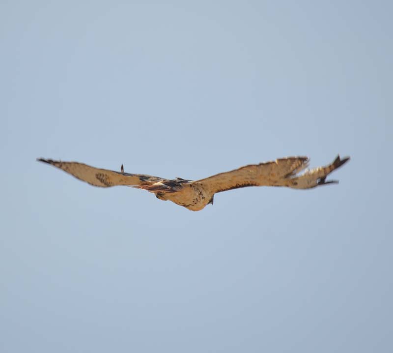
On many trips around the Cedar Canyon area, this hawk always seems to find Irene. Over the past 14-16 months, she has taken a photo of this hawk with its torn wing many times. It’s always a sign for her that it will be a good day.
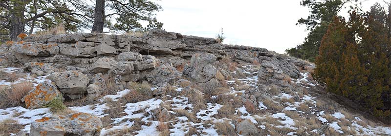
There are many fine examples of rock formations and weathering at the top of the bluff at Cedar Canyon.
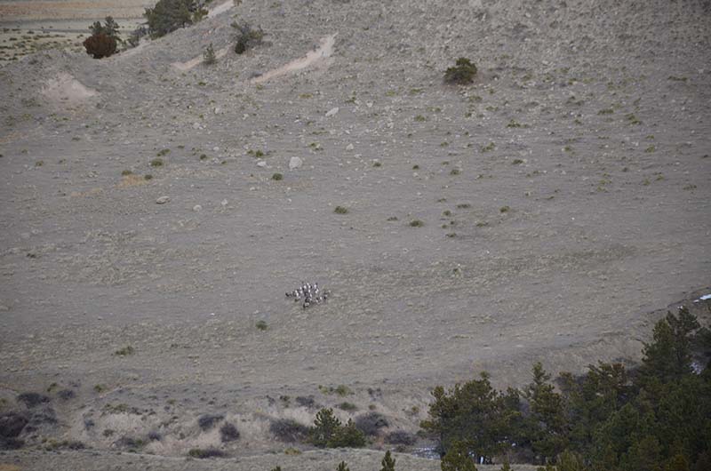
Even in the quiet stillness of being on top of Cedar Canyon, you are never alone. A herd of bighorn sheep were gathered in the distance below. As a little monkey, I was glad the herd was so far away. Everyone was speaking quietly, but the bighorn sheep could hear our voices and began to slowly move away. We decided to do the same.
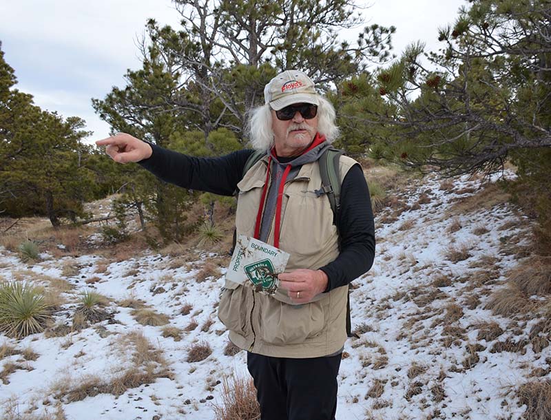
After walking another 50 fifty feet or so, Steve picked up a broken sign, which indicates the property boundary between a private citizen’s property and the Nebraska Game and Parks Commission land. The pole indicating the boundary was a few feet from the cliff’s edge. Jokes were made about how no property owner was going to climb “way the hell up here just to tell you to get off their land.”
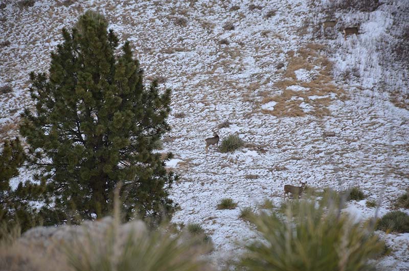
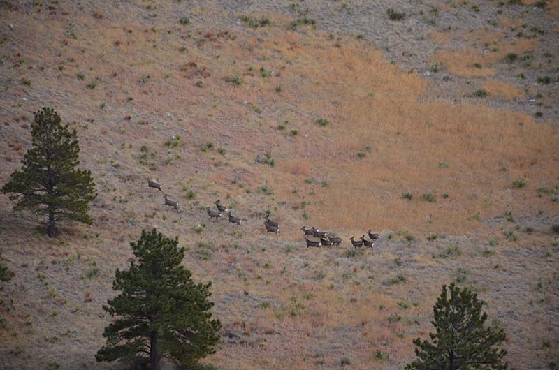
Do you see more than four mule deer? Neither did Steve, Sarah, or Irene, at least not until the deer jumped up and began running away. They were careful to not speak while observing the deer from on high, however, even the slight movement of their feet in the crunching snow spooked the deer.

The mule deer took off running, away from the hikers and to the left of the big horn sheep.
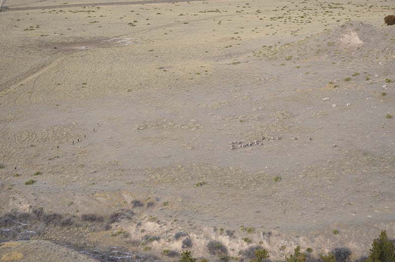
The mule deer began their trek just out of the picture, bottom center, ran to the left, and traversed a small ravine before running to the left of the bighorn sheep.
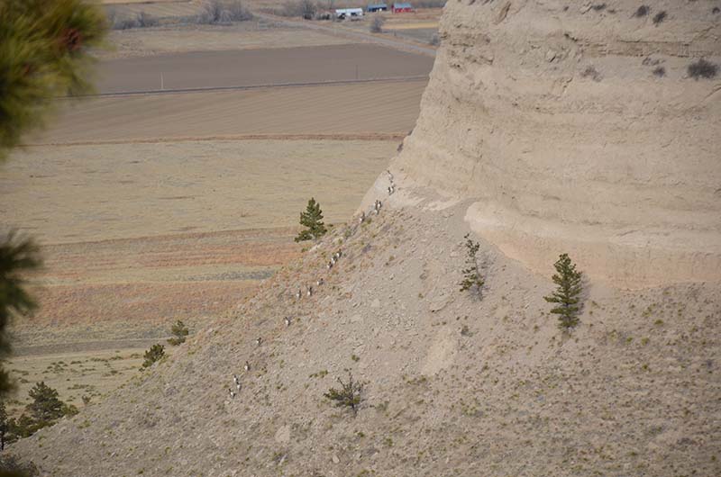
The bighorn sheep took notice of the mule deer as well as Steve, Sara, and Irene, who were watching events unfold from atop Cedar Canyon. The bighorn sheep ran to the right, away from the deer, which they probably perceived as a more immediate threat than the humans. In less than 20 seconds, the bighorn sheep climbed up the side of the cliff and disappeared around the edge.
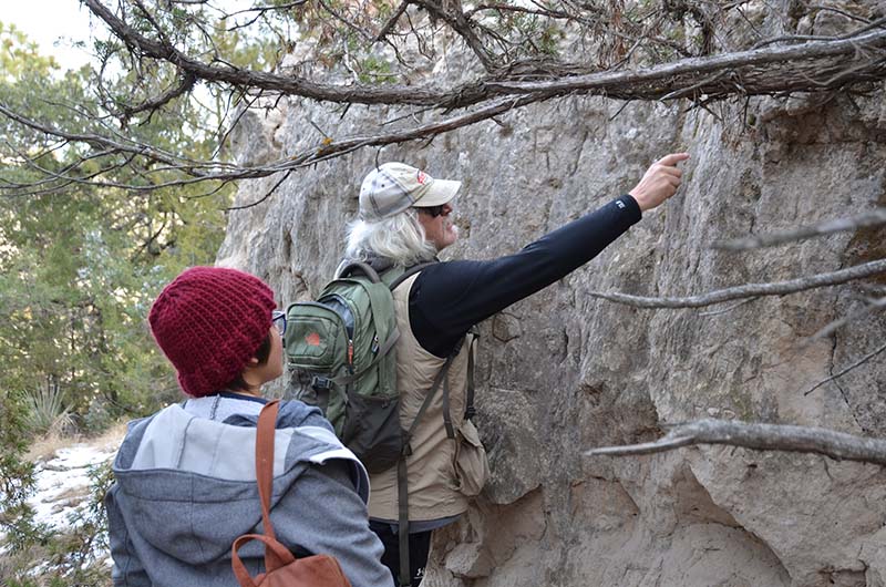
The humans continued their trek along the top of Cedar Canyon. Steve points out to Sara carvings along a “wall.”
Many of the carvings on the wall date back decades. A few are more than a century old. The carvings are of people’s initials or first names and dates. The older carvings are more difficult to see.
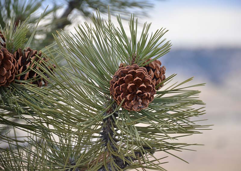
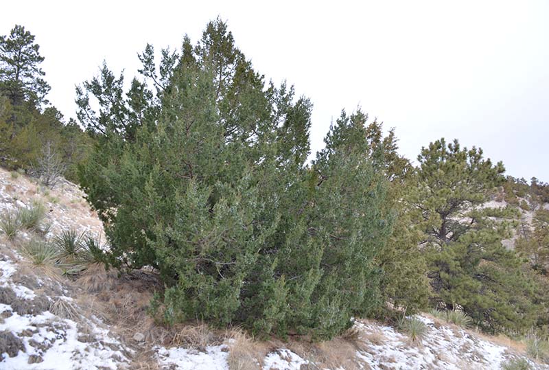
Irene likes taking pictures of anything that captures her attention, regardless of whether it is flora or fauna. The top of Cedar Canyon is home to many trees, though pine is the most abundant.
On the other side of the canyon, the humans were admiring the beauty in the different colors of land during the winter, when they spotted another herd of mule deer. The mule deer promptly sprang up and ran away.
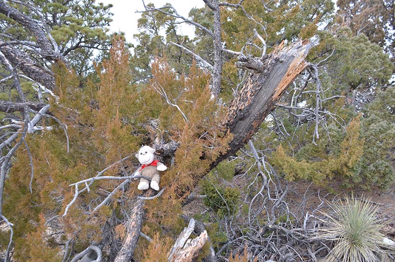
Many months had passed since Steve and Irene hiked up to the top of Cedar Canyon. One thing they noticed was a lot more “downed” trees with fresh tears where they were struck. Speculation was made, with several possibilities, but the most likely answer is wind and/or lightening. The Fall of 2021 in western Nebraska saw many days with higher winds than normal and is a likely cause for several of the fallen trees. Whatever the reason, it makes it easier for me to climb them.
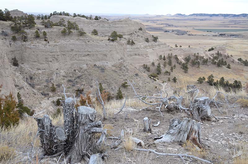
Irene calls this area “Steve’s Stumps” because each time we climb to the top of Cedar Canyon, Steve wonders why these trees were cut down. The ground is solid. The trees seemed to be healthy when they were cut. They would not have blocked any view. It’s a bit of a mystery who did this and why, especially considering the trek you would have to make with a chainsaw in order to cut down and remove entire trees.
Signs of life are everywhere at Cedar Canyon WMA. Even in winter, animals will spread the seeds of plants for life to begin anew in Spring.
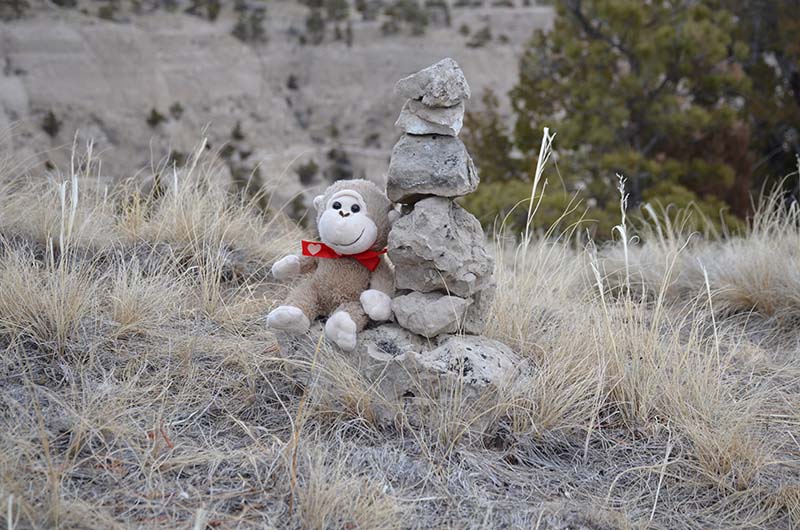
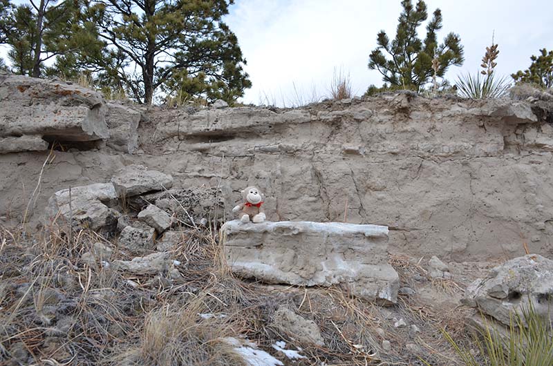
In order to hike to the top of the bluff at Cedar Canyon, you must follow a game trail, which is also used and semi-maintained by humans. Once at the top, finding the trail back down is equally as difficult. Steve placed the first rock at the spot where you should begin your trek back down. Other hikers have placed more rocks since then.
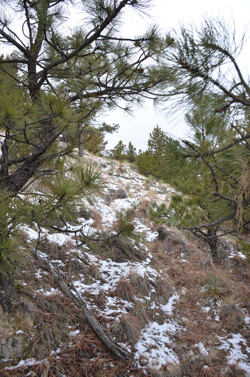
The rocks at the top are just out of sight. In winter, making out the game trail is difficult. It is also a constant, steep climb both going up and going down. On this day, even with the footprints of three people, the trail is still slightly elusive near the top.
At lower altitudes, the trail becomes easier to navigate. It can still be treacherous due to fallen pine cones, loose rocks, and snow, which can be slushy or icy.
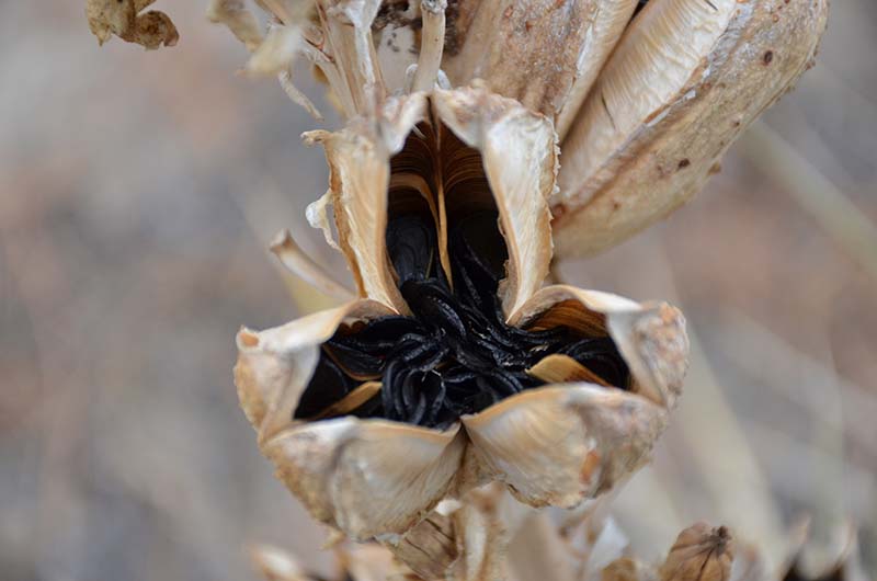
Even in winter, blue specks sparkle in the light at Cedar Canyon WMA.
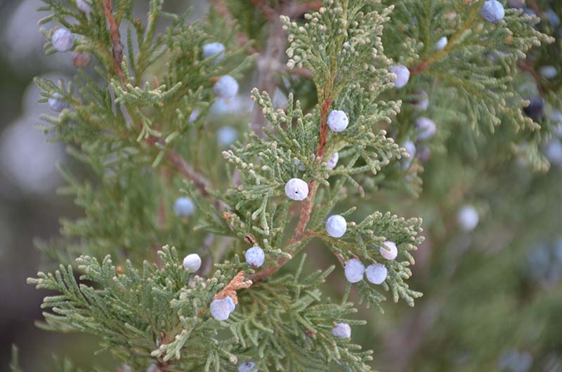
None of the humans, nor I, a humble monkey, were willing to try these blue berries to see if they were safe to eat.
If you make the journey to the top, take a moment to rest, but don’t look at the view there and turn around. Stay. Hike along the trail there, which is an old two track for parts of the hike. You can walk almost all the way to the other end as well as look at the views of the North Platte Valley on the other side. Far too many people stop in the area at the top and miss out on some incredible views. Trust me. I’m a monkey who has traveled along as far as my human could go. Round trip, it’s about 8.5 miles. Don’t forget your pedometer, snacks, and plenty of water. Most of all, remember to have fun.
To reach Cedar Canyon WMA, turn west off of Highway 71 onto Carter Canyon Road. Turn south (left) onto County Road 17. When the road forks, stay to the right and travel slowly to the parking area for Cedar Canyon WMA.
Steve
Nice work!